What is an informative map?
Aren’t all maps informative? Most maps are indeed informative, with the exception of purely decorative maps. So why this category? These maps are informative and portray only the informative part. An example of this is a map made for RWE: an energy supplier.
“The main information has priority over all other map elements and all others are of secondary importance”
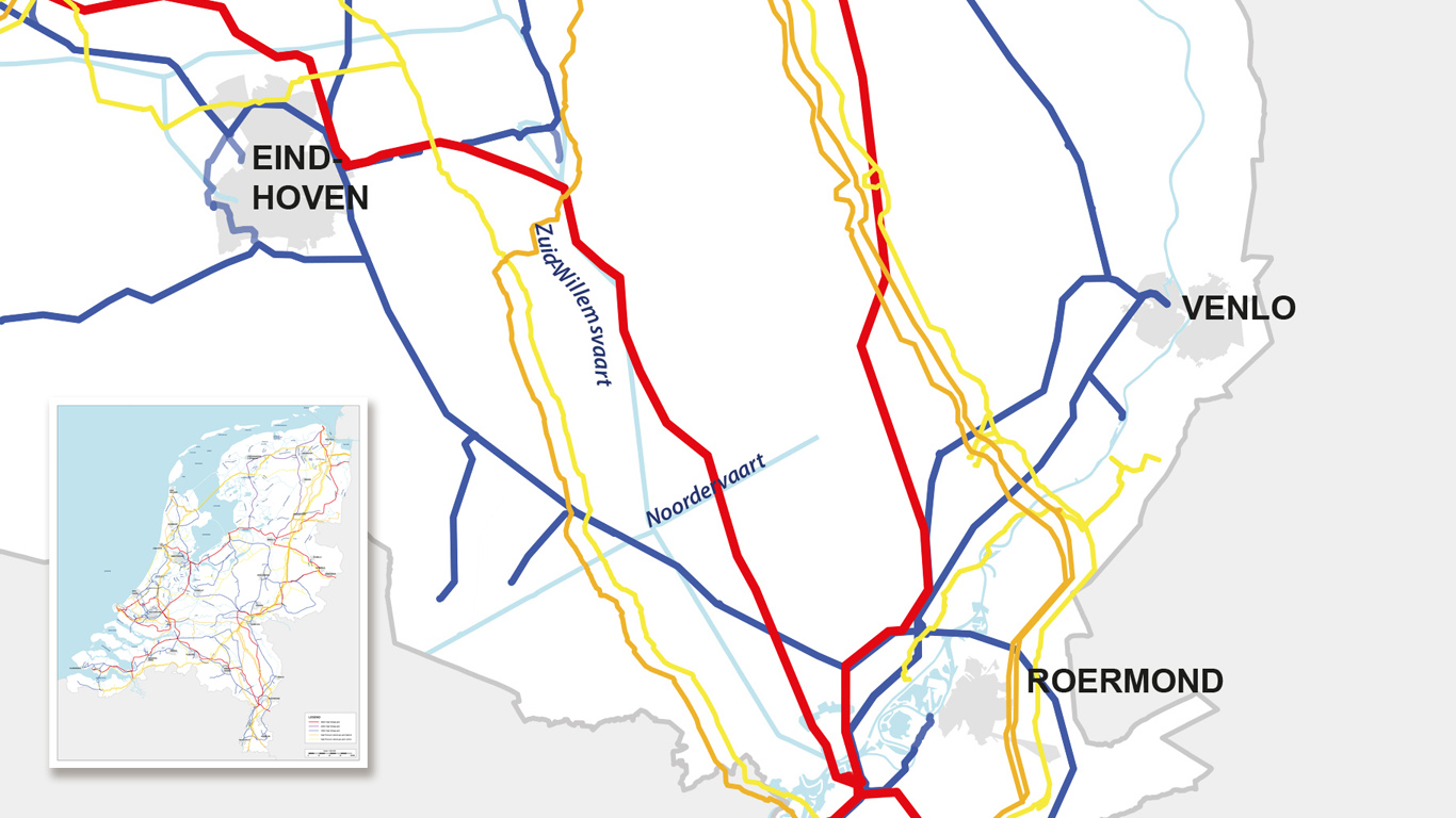
Energy displayed
In this map, all high-voltage masts and cables are mapped. Bright colours have been used in order to display them as clearly as possible. These are coloured based on the amount of power that these conduits direct.
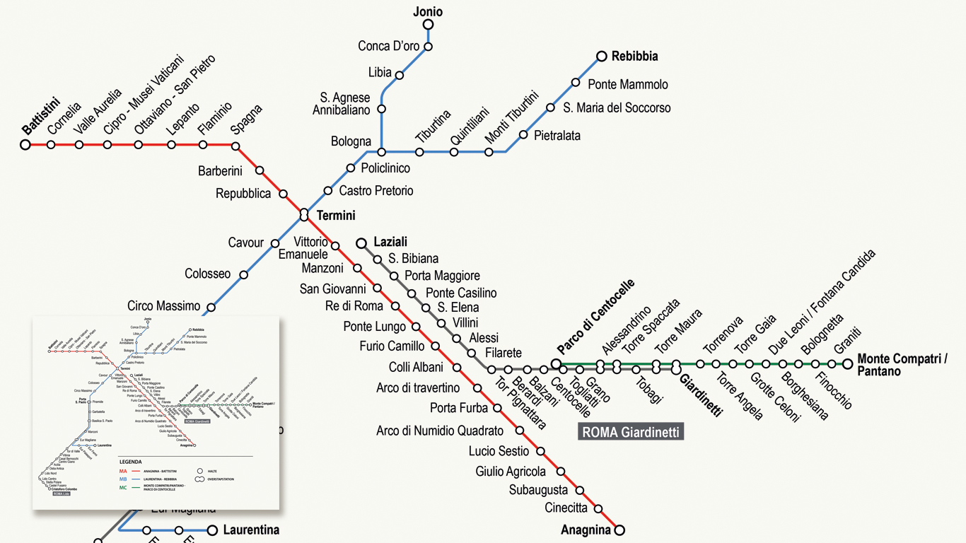
With the metro
Another example of an informative map is a metro map. Not entirely at home within the 'Route map' category, but completely at its place within the informative maps. The main purpose of the metro map is to inform the user, as a result; the ‘common’ map layout is abandoned, and focuses primarily on the informative part.
Data in abundance
GIS data (Geographical Information System) is in high abundance, and has a lot of available information to work with. All of this information can be transformed from flat GIS software to vector or grid files that can be moulded, so that in the end, a beautiful map remains. An informative map can also be very diverse. First, the subject must be clear. Additional information such as a detailed background may come second and is secondary to the maps initial purpose.
Compiling a map?
Do you want to create an informative map? Are you not entirely sure what the possibilities are? Feel free to contact us to discuss all possibilities, either by telephone, by email or via chat.


