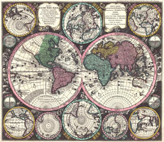
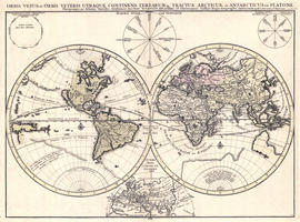
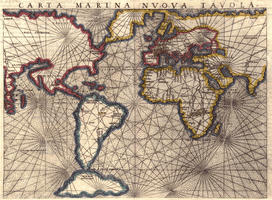
Historic World Maps from our collection were made between 1500 and 1900 and show how one saw the world at the time. In the last centuries, cartographers had a preference for the Globular projection. All maps from that time are also marked by the absence of country borders. The so-called nation state came into force only in the late 18th century.
You are here
Historic maps
-
20,-In cart
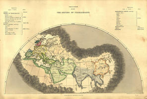
- • Shows the realm of Charles the Great and other empires
-
20,-In cart
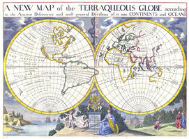
- • Shows both hemispheres with the equator, latitude and longitude
-
20,-In cart
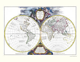
- • Both hemispheres are shown clearly and in detail
-
20,-In cart
- • Beautiful decorative map
-
20,-In cart
- • Unique to this engraving is the beautiful faces that are drawn in the black part in-between the different hemispheres
-
20,-In cart
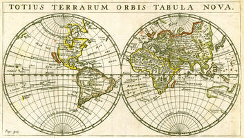
- • Map of the world in hemispheres with names in Latin and with various schemes
-
20,-In cart
- • Striking line pattern, creating an optical ball in the middle
-
20,-In cart
- • Both hemispheres are very colourful and detailed
-
20,-In cart
- • Displays both hemispheres of the globe with clearly contoured, coloured regions
Pages
Color Usage
All cards are displayed in their original colors. For most maps, from the period 1500-1800, there are no separate colors for each country, but for the continents. Exception to this is Johannes de Ram's map from 1683.
Projections
Depending on function and / or taste, many people choose the Gall or Mercator projection. These projections are different ways to project the surface of a round planet on a flat plane. However, since projecting the surface of a round-body body on a flat surface can never be reproduced simultaneously and surface-wise, any type of map projection is different in nature and function.
- Globular projection (see map, from 1684): Both halves of the globe are displayed on two separate circles.
- Winkel Projection (See Map, from 1528): Surface of the World has been projected on an oval-shaped map.
- Mercator projection (see eg 1808 map): shapely map, but less surface accurate. Northern and Southern hemispheres are stretched in width and height relative to the area around the equator. But the most popular map projection, even used by Google.
