What can a map signify?
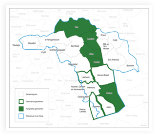
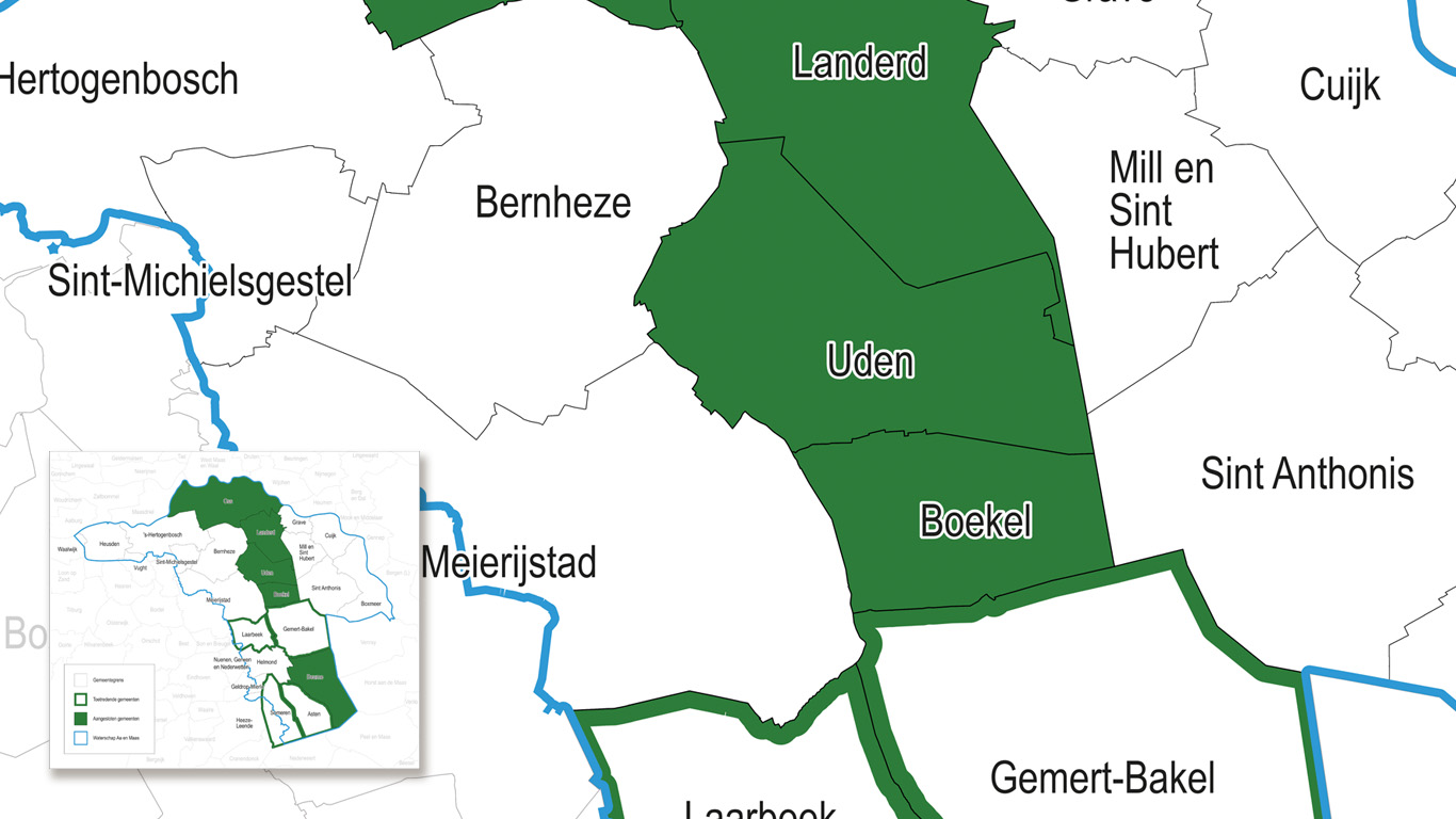
The underlying information is less important for this type of map. For example, roads, water, forests and places are not displayed or are somewhat concise. The format is based on, for example, provinces, counties/communities, cities, postal code areas, corop regions, security regions, regional water authorities and others. From these, the postal code map is by far the most popular. This map type is extensively discussed in the category postal code maps.
"Administrative maps are often very straightforward put together maps"
Simplicity and clarity
Often it is important to know which places are in a borough or within a water board. These types of maps are usually presented in a simple manner. A white background including the administrative boundaries and names. The majority of these maps are delivered digitally and are to be used within a company. Requests may differ from client to client, so we'll make sure that the map you get, is the map you need.
Multifunctional use
Another popular map is a municipal map, on which many formats are based. In Holland for example, this map type changes every year as bigger municipalities absorb smaller ones. Meaning the map has to be updated annually. The postal code remains top dog. And is most suitable for making a (district) map. For more information on postal code maps, take a look at this page.
Compiling a map
Compiling a map is pretty straight forward. Our team is able to fully incorporate every single request into a map. Feel free to contact us to discuss all possibilities available, either by telephone, by email or chat.


