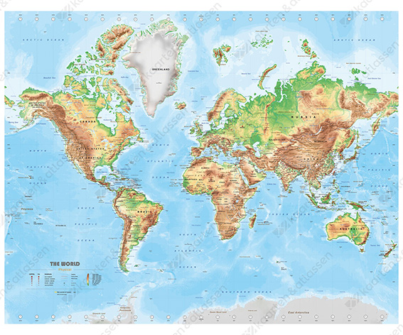
In recent months we have worked on an all-encompassing world map. We have made the map in three different versions; a political world map, a physical world map (heights) and an environmental map. We have informed you about the political map in the previous blog. The physical map shows the heights and of course also a lot of political information but less prominently displayed. The heights are listed in 7 categories that with their own color, these colors can be adjusted. The shaded relief (no 3D) indicates the mountainous terrain. All this ensures a clear and realistic map. The environmental map is based on the climatic classification according to Köppen. More about this last map in the next blog.
The medium version 120x80cm of the physical world map
The special feature of this physical map and therefore of the entire worldmap serie is that we can easily convert the maps into another projection, be able to carry out translations relatively easily and be able to put external data directly into the map. The physical map is made to be printed on 3 basic formats that show more or less details depending on the format. The basic sizes are 80x60cm, 120x80cm and 180x150cm. Of course, "own" sizes are also possible.
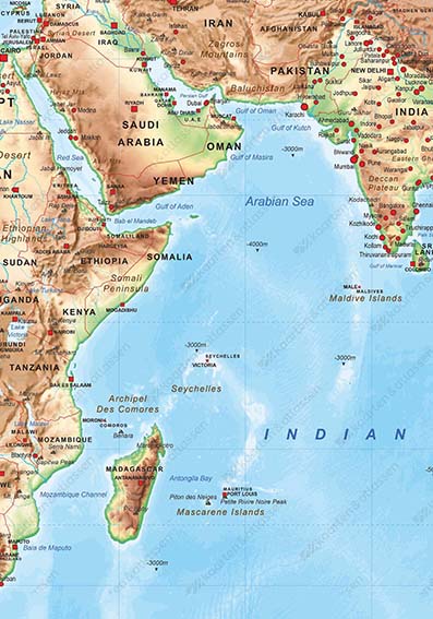
Detail image from the world map physical medium (120x80cm)
As you can see on the detail image, the map has a shaded relief so that the surface is also displayed. Sea depths, mountain ranges and mountain peaks (altitude) are shown as well as the rough time zones, see the bells below and above in view. A map serie with lots of possibilities. In the next blog more about the environmental map.
You can order the jpg version of this map on our website the world of maps. The eps version can be bought only after personal contact with our company, you can mail us.

