Why to buy?
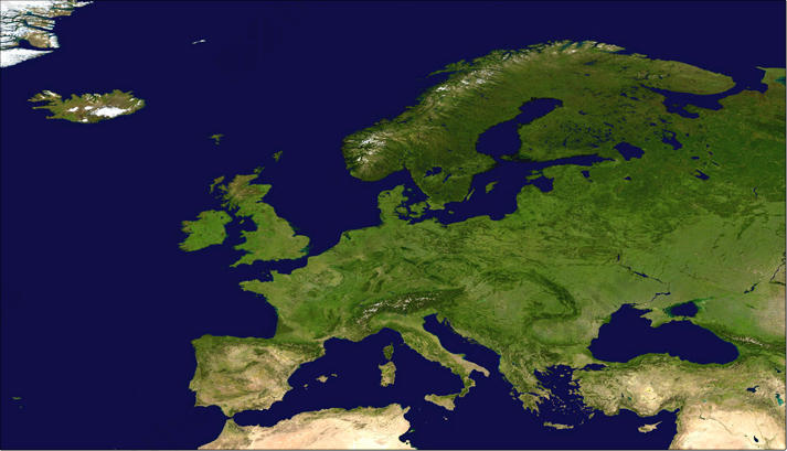
- NASA Satellite image of North America
- USA, Canada and part of Greenland are visible
- Beautiful are the afforestation, mountains and everlasting snow
Additional information
Classic satellite image of North America, Canada and part of Greenland. A beautiful map in natural colours.
The digital file is available as from 150 euros.
For larger (jpeg) formats please contact us, phone: +31 (0) 204822060.