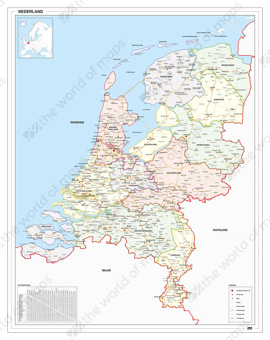
Why to buy?
- 4 types of dots explain the differences in population
- The dots on the map indicate many places
- Clear county boundaries indicated by slightly thicker lines
Additional information
Map of The Netherlands in fresh pastel tones. Including city names, county boundaries, main roads. The county boundaries are shown by slightly thicker lines, which gives the map a nice look & feel. The place names are displayed as dots. The map also has a legend and distance table.