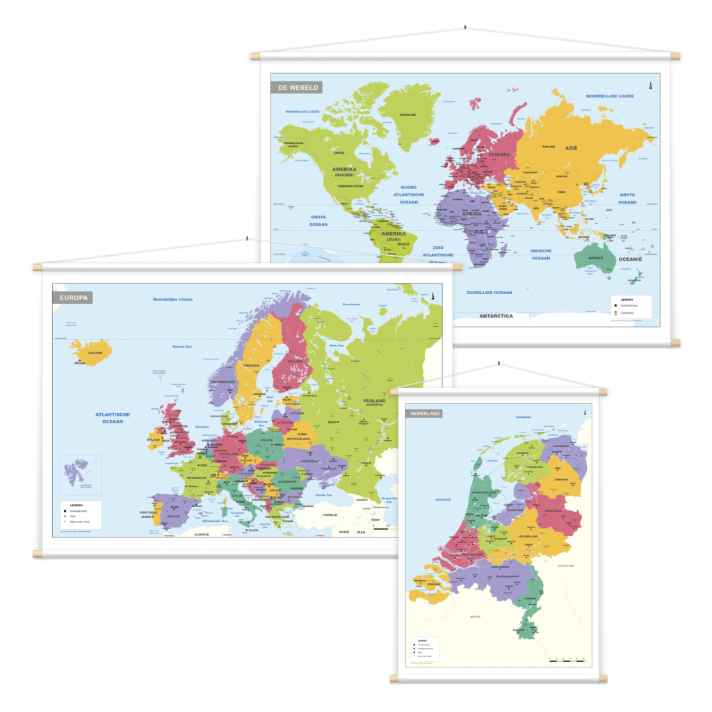
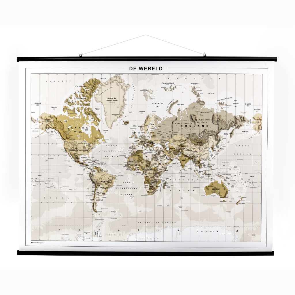
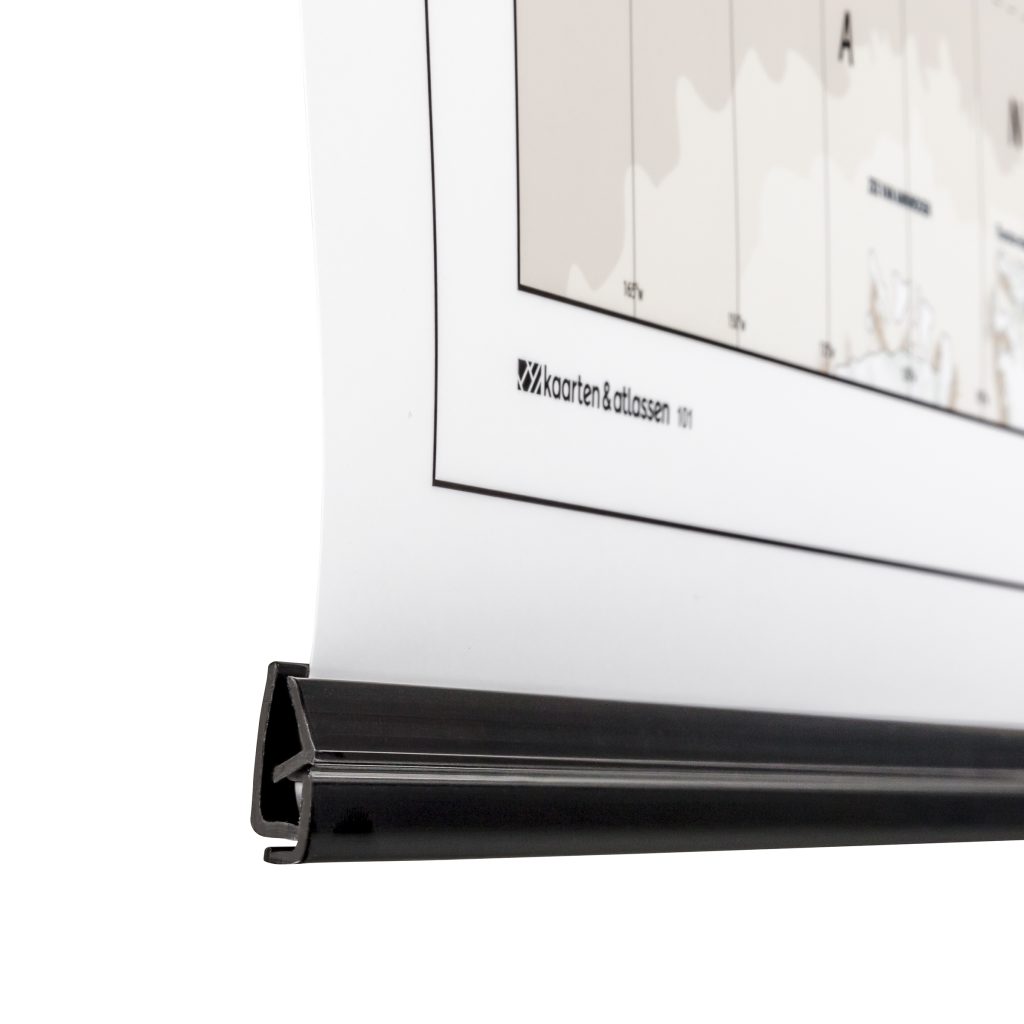
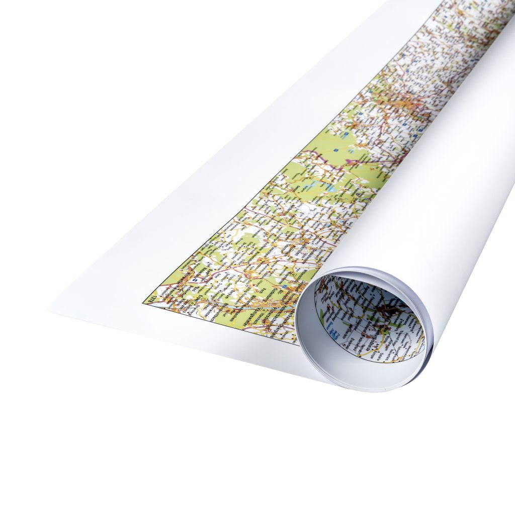
- Diverse formaten
- Niet goed, geld terug
- Meer dan 30 jaar ervaring
✅ Diverse formaten
✅ Niet goed, geld terug
✅ Meer dan 30 jaar ervaring
Kaart op Maat
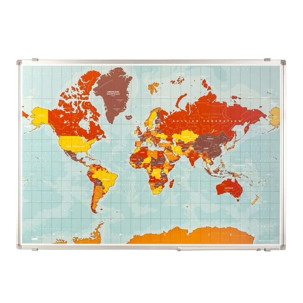
Kaarten per Type
Kaarten per sector