
- Delivered as EPS & JPG
- High-quality downloads
- Over 30 years of experience
✅ Diverse formaten
✅ Niet goed, geld terug
✅ Meer dan 30 jaar ervaring
Pros
Additional information
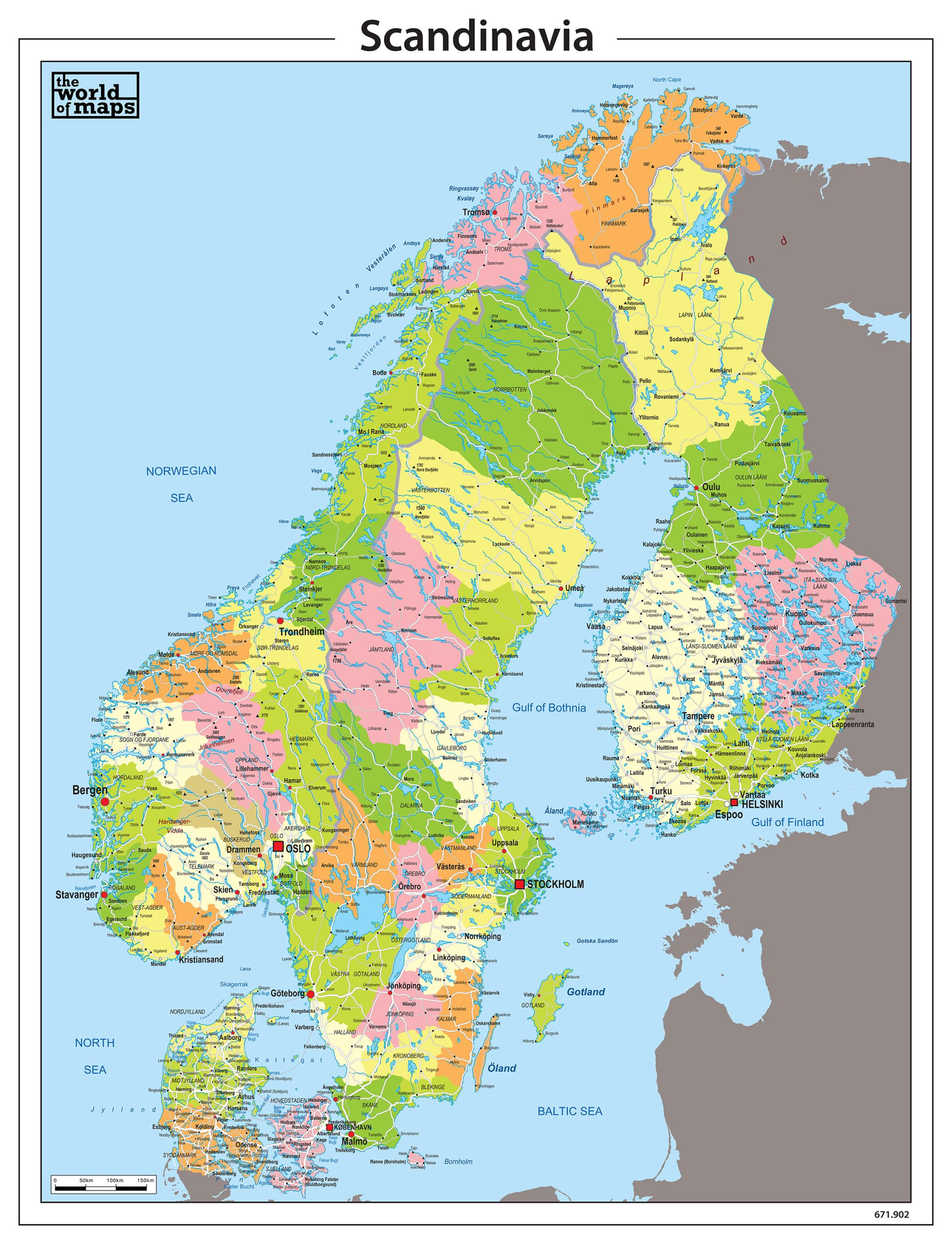
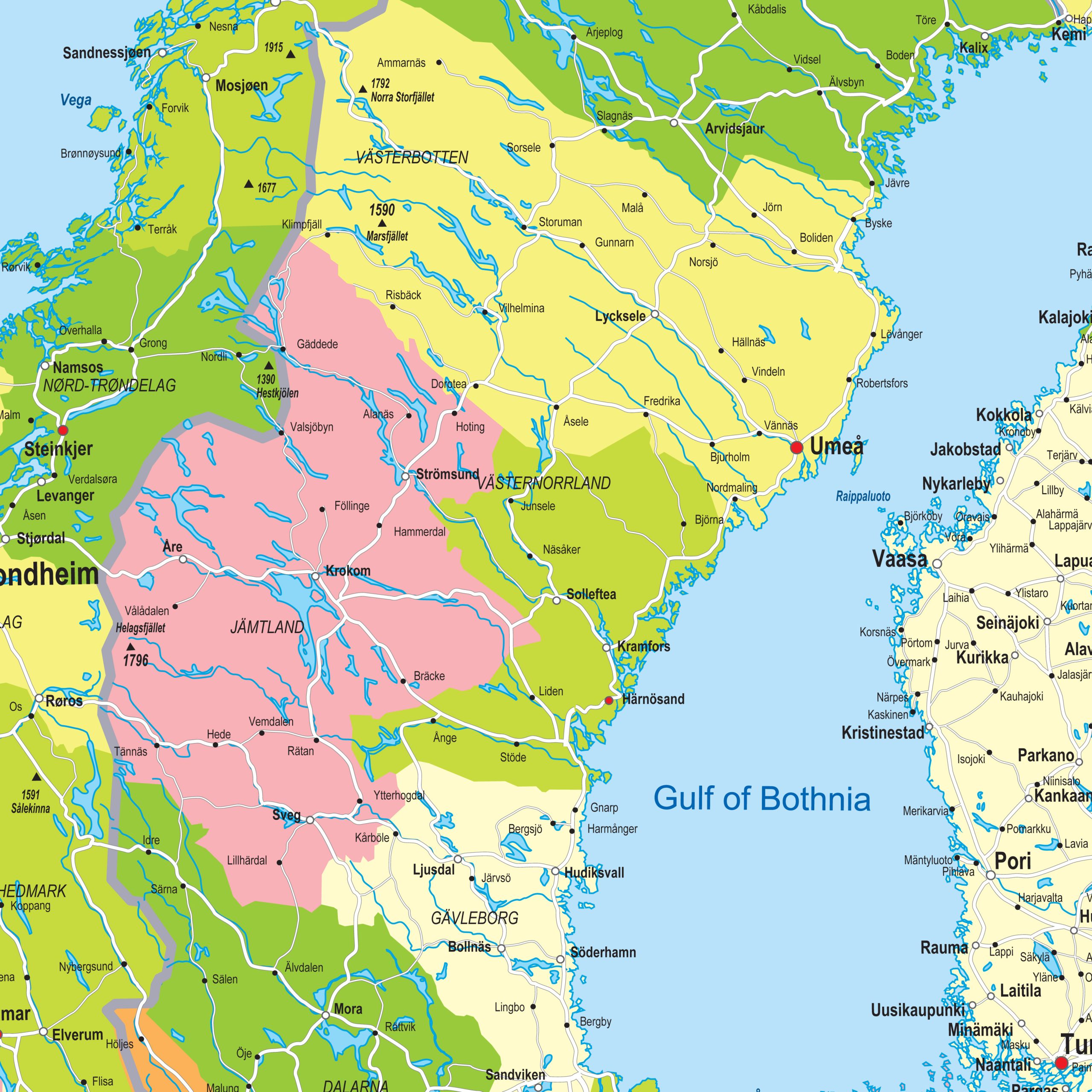
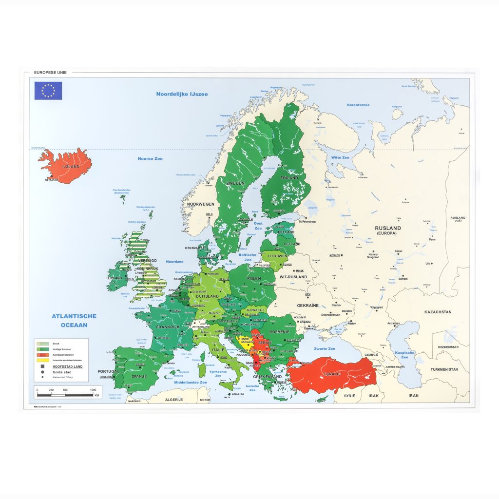
This political digital vector map of Scandinavia presents a clear overview of administrative regions across Norway, Sweden, Finland and Denmark. Provinces are shown in fresh, well-balanced colours, making regional boundaries easy to interpret. Capitals and major cities are highlighted for visibility, while a wide range of towns, roads and waterways provide detailed geographic context. The characteristic lake regions of Scandinavia are clearly visible, contributing to the map’s recognisable regional structure. Designed as a digital vector map, all elements remain sharp at any scale, making it suitable for professional design, publishing and informational applications.
High-quality digital download (AI, EPS, SVG, PDF)
Fully editable vector layers
Detailed map with elevation / political borders
Professional color palette
Ideal for print and digital use
Scales without losing quality
Royalty-free use included (non-exclusive license)
EPS files are images made up of vectors: points, lines, and shapes. Vectors can be adjusted, enlarged, and stretched without any loss of quality. This makes the editability of a vector map excellent. The big advantage of EPS files is that they can be modified in any way you need.
For editing EPS maps, we recommend Adobe Illustrator. Customers who do not have access to this software can rely on us to carry out the edits for them. A no-obligation quotation can be requested at any time.
Plus-/minpunten Positives and Negatives
Customisation options
EPS files can be adjusted by us in every possible way.
EPS files can also be delivered as .PDF or .AI files. More complex maps can be created on request.
EPS file
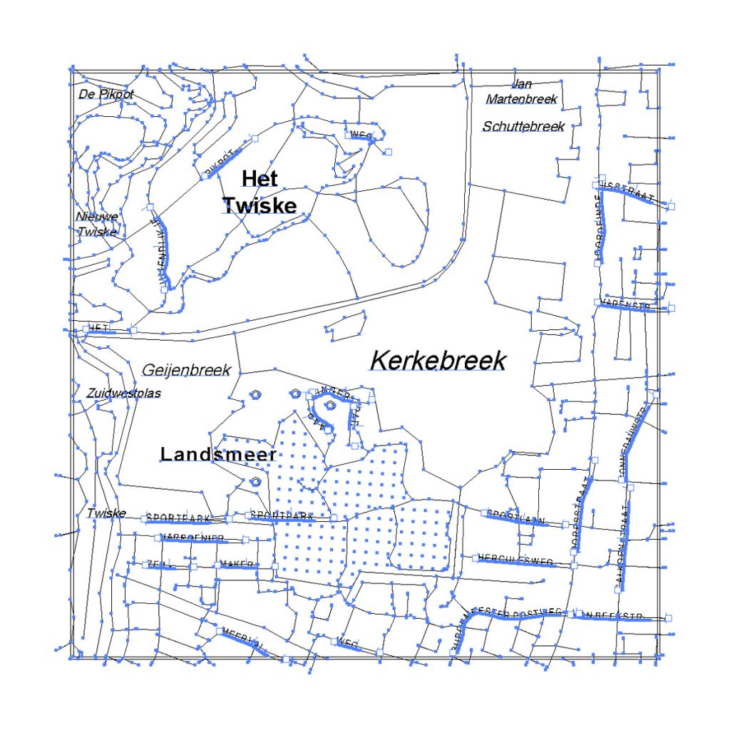
Editing EPS file data
JPEG file
JPEG file, zoomed in
Geschikt voor grotere formaten en kaarten voor intensief gebruik. Schoolkaarten worden door ons op PVC Bisonyl materiaal gedrukt, de meer gangbare naam hiervoor is vrachtwagenzeil. Een dik, glad kunststofmateriaal dat zeer goed te bedrukken is en ook bijna onverwoestbaar is. Een passend ophangsysteem bij dit materiaal zijn de houten stokken. Deze zijn rond met een doorsnede van 2,5cm. Aan de bovenste stok wordt een wit koord aangebracht.
Kortste zijde: 200 cm
Langste zijde: Onbeperkt.
Plus-/minpunten
Er zijn op aanvraag verschillende maten en accessoires bij te leveren.
De kaarten kunnen van geponste ringen in de zijkant worden voorzien. Met behulp van een buizenframe kan de kaart overal bevestigd worden.
Vrachtwagenzeil met stokken
Vrachtwagenzeil met stokken
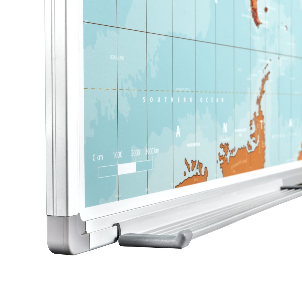
Een whiteboard is magneethoudend, beschrijf- en afwisbaar. Onze whiteboards worden volgens een sublimatieproces gemaakt. Het kaartbeeld wordt met superieure beeldkwaliteit duurzaam in het whiteboardoppervlak geïntegreerd. De afbeelding wordt optimaal beschermd tegen slijtage doordat de print zich niet aan de oppervlakte bevindt. Standaard worden ophangbeugels meegeleverd, samen met een handig opbergbakje dat onderaan het whiteboard wordt bevestigd.
Kortste zijde: 120 cm
Langste zijde: 200 cm
Plus-/minpunten
Veel klanten zijn op zoek naar grote formaten whiteboards. De kaart wordt dan uit meerdere panelen opgebouwd die na montage aan de wand van een lijst worden voorzien. De prijs voor deze gecombineerde panelen zijn relatief duurder dan een enkel whiteboard.
De omlijsting van onze whiteboards kunnen tegen een kleine meerprijs in een gewenste kleur gespoten worden. Er bestaan daarnaast vele mogelijke magneten, stiften en markers voor whiteboards. We raden aan deze accessoires in onze shop aan te kopen. Het komt nog weleens vaker voor dan eens, dat stiften en markers van derden minder goed, of niet uitwisbaar zijn.
Whiteboard
Whiteboard
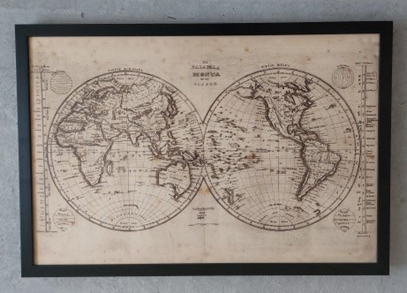
Een ingelijste kaart is een kaart die op foam is verwerkt. De kaart is beprikbaar met markeernaalden, vlaggetjes of punaises. Zie hier onze accessoires voor. Het foambord wordt standaard voorzien van een zwarte houten lijst. De ingelijste kaart is zeer licht en daardoor eenvoudig op te hangen, ook aan plafondrails. Standaard wordt de kaart met 2 oogjes geleverd, waar de kaart d.m.v. een draad aan opgehangen kan worden.
Kortste zijde: 120 cm
Langste zijde: 175 cm
Plus-/minpunten
Standaard wordt de kaart in een zwarte houten lijst geleverd. De kaart kan ook als foambord zonder lijst worden geleverd zodat u bij een lijstenmaker de kaart van een lijst naar keuze kan voorzien.
Vlaggetjes, markeringsspelden zijn bij ons verkrijgbaar, zie daarvoor onze accessoires.
Gesatineerd papier
Gesatineerd papier
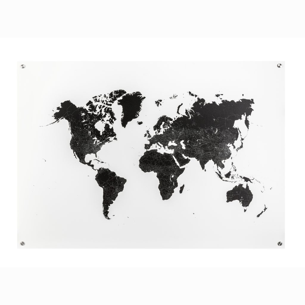
Dibond is een plaat opgebouwd uit drie lagen; twee aluminium buitenlagen met daar tussenin een kunststof kernlaag. Het materiaal is 3 mm dik en niet magneethoudend. Het materiaal is zeer duurzaam en het metaal schijnt heel licht door het materiaal heen. De kaart wordt voorzien van boorgaten in de hoeken en kan met de bijbehorende metalen afstandhouders met schroeven aan de muur bevestigd worden. Kleinere formaten kunnen ook geleverd worden met een zelfklevende ophangplaat.
Kortste zijde: Maximaal 135 cm
Langste zijde: Maximaal 200 cm
Plus-/minpunten
Het kaartmateriaal kan op ieder formaat worden afgedrukt mits de bovenstaande formaten niet worden overschreden. Grotere kaarten kunnen op meerdere panelen worden afgedrukt.
Kaarten kunnen zonder of met boorgaten geleverd worden.
Dibond met afstandhouders
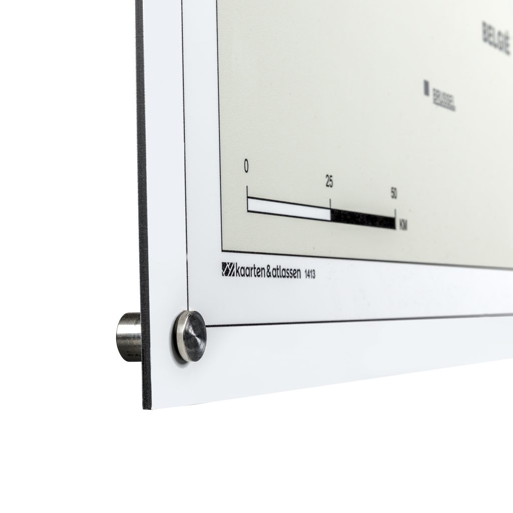
Dibond met afstandhouders
Een foambord bestaat uit twee gladde, witte platen karton met een lichte schuimlaag ertussen. Het materiaal is zeer licht dus makkelijk vervoerbaar. Wanneer deze zonder ophangsysteem besteld wordt leent het zich om met dubbelzijdig tape op een gladde muur beplakt te worden. Het materiaal is op de hoeken vrij kwetsbaar. De kaart wordt geleverd met boorgaten in de hoeken en afstandhouders met schroeven óf met een zelfklevende ophangplaat.
Kortste zijde: 135 cm
Langste zijde: 200 cm
Plus-/minpunten
Grotere formaten kaart worden op meerdere panelen foam afgedrukt.
Vlaggetjes, markeringsspelden zijn bij ons verkrijgbaar.
Foambord
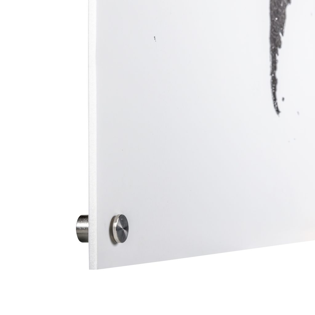
Foambord met afstandhouders
Forex bestaat uit hard geschuimd PVC, met aan beide zijden een wit matte afwerking. Het materiaal is stevig maar toch licht buigzaam, vooral geschikt voor binnengebruik. Met bedrukt forex ben je verzekerd van een strakke afdruk. De kaart wordt geleverd met boorgaten in de hoeken en afstandhouders met schroeven óf met een zelfklevende ophangplaat.
Kortste zijde: Maximaal 200 cm
Langste zijde: Maximaal 300 cm
Plus-/minpunten
Grotere kaarten kunnen op meerdere panelen worden afgedrukt en tegen elkaar aan op de wand worden gemonteerd.
Het forexmateriaal kunnen we tegen een meerprijs voorzien van beschrijfbaar laminaat.
Forex Kunststofplaat
Forex Kunststofplaat
We kunnen de kaart leveren als Vliesbehang, onze standaarduitvoering (matte uitstraling en vlakke structuur). Andere opties zijn: Airtex (matte uitstraling), Airtex PVC vrij (matte uitstraling en fijne structuur) of Vinylbehang (fijne structuur). Het behang kan op rol geleverd worden, maar ook uit één stuk. Alle behangsoorten worden niet meer ingesmeerd met behangerslijm.
Rollen hebben een maximale lengte van 10 meter. Behang uit één stuk heeft een maximale lengte van 10 meter.
Behang kan op ieder formaat geleverd worden. Verschillende uitvoeringen mogelijk: Vliesbehang (matte uitstraling en vlakke structuur), Airtex (matte uitstraling), Airtex PVC vrij (matte uitstraling en fijne structuur) of Vinylbehang (fijne structuur).
Behanglijm kan separaat worden toegevoegd. Huidig behangmateriaal kan relatief eenvoudig worden verwijderd.
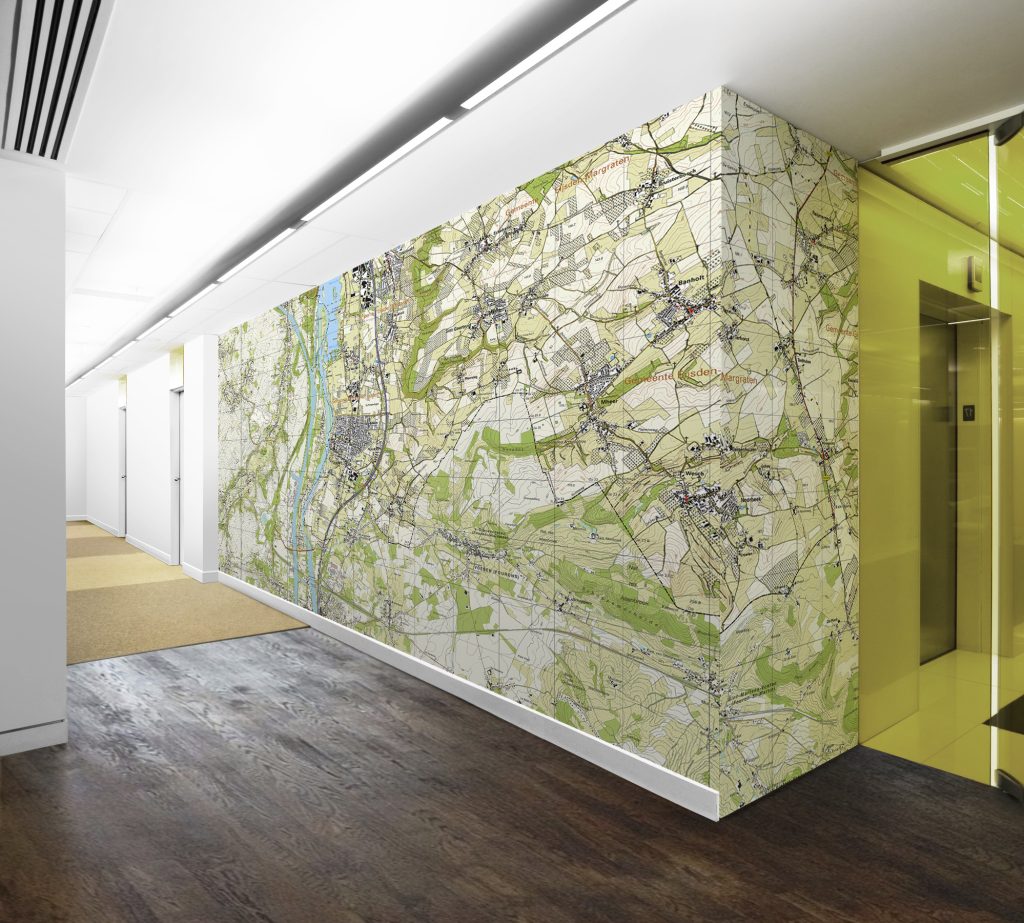
Behang uitvoering
De papieren uitvoering wordt enkelzijdig gelamineerd met een dun laagje laminaat. Het laminaat is beschrijf- en afwisbaar, mits deze wordt beschreven met speciale whiteboardstiften. Zie onze accessoires hiervoor.
Kortste zijde: 140 cm
Langste zijde: Onbeperkt
De gelamineerde kaarten zijn op ieder formaat tot een breedte van 140 cm af te drukken, lengte onbeperkt. Tegen een meerprijs kan de kaart ook van dubbelzijdig laminaat voorzien worden. De kaart kan dan gebruikt worden in licht vochtige ruimtes.
Er kunnen strips aan de kaart bevestigd worden. Bekijk hiervoor de optie met strips. Whiteboardmarkers kunnen bij ons gekocht worden, zie daarvoor onze accessoires.
Gelamineerde kaart (glans)
Deze uitvoering wordt gedrukt op papier en daarna enkelzijdig voorzien van een mat laminaat. Het materiaal voelt stevig aan en oogt mat en is dus niet glanzend.
Kortste zijde: 140 cm
Langste zijde: Onbeperkt
De mat gelamineerde kaarten zijn op ieder formaat af te drukken. Tegen een meerprijs kan de kaart ook van dubbelzijdig laminaat voorzien worden. De kaart kan dan gebruikt worden in licht vochtige ruimtes.
Strips, oogjes en koord zijn los te bestellen.
Gelamineerde kaart (mat) met strips
Gelamineerde kaart (mat) met strips
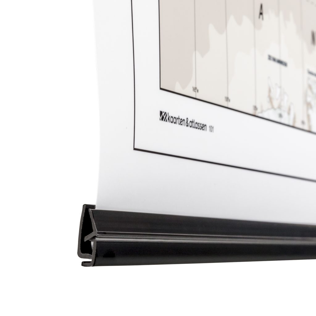
Deze uitvoering wordt gedrukt op dik papier (200 gr) dat gecoat is met een laagje zijdeglans. Het materiaal voelt stevig aan en oogt net niet mat maar is zeker niet glanzend. Aan de onder- en bovenkant van de kaart kunnen ook zwarte plastic strips worden aangebracht. Dit zijn robuuste klikstrips. De bovenste strip kan worden voorzien van 2 ophangoogjes en een wit ophangkoord dat meegeleverd wordt.
Kortste zijde: 150cm
Langste zijde: Onbeperkt
De papieren kaarten zijn op ieder formaat af te drukken. De strips kunnen we ook los op ieder formaat na- of meeleveren.
Neem daarvoor contact met ons op 020-4822060 of info@atlasmapmakers.nl
Strips, oogjes en koord zijn ook los te bestellen.
Gesatineerd papier